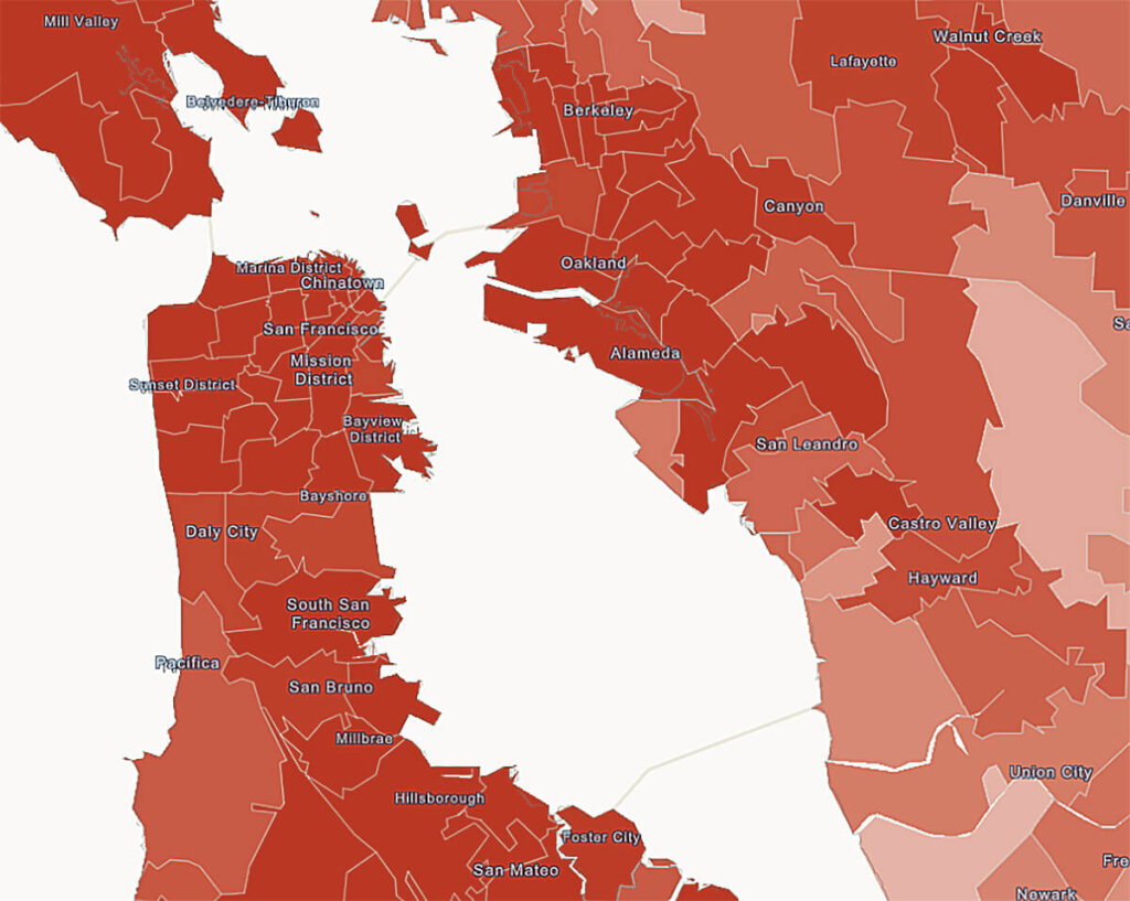
Cities are growing denser with residents, city services are in high demand, and all while leaders struggle to balance tight budgets and limited resources. This is the common plight of many state and local governments throughout the U.S. as they seek for faster, more efficient ways to serve their communities.
As a response to these challenges, departments and agencies of all types are learning about the power of Geographical Information System (GIS) mapping to get a clearer picture of operations and to deliver services more efficiently. While governments may have categorized GIS as a novelty in the past, now more and more governments are seeing it as an essential tool to have across service types. Today GIS software is used to track municipal assets, manage records, chart service routes, allocate resources and inform residents and policy-makers on critical community issues.
Crime, utilities, air quality, social programs, commercial activity, it can all be interpreted and analyzed by GIS. The technology offers a lens into nearly every facet of a community’s health. This wide variety of mappable, and therefore trackable, issues helps leaders to make informed decisions.
With this in mind, we offer four ways GIS can empower city departments to improve services:
- Save money, stretch resources
Clarity unlocks efficiency, and efficiency is a catalyst for cost-savings and better service. This principle holds true in El Paso, Texas, where its solid waste operations department used the Accela Mobile Application to help waste bin service crews map routes and report in the field. Crews had a backlog of more than 5,000 work orders on bins that needed to be delivered, fixed or replaced for residents. The backlog was a result of having to map routes manually and record data in paper forms. With Accela’s mobile GIS application crews eliminated the backlog through effective route planning, cutting response times from 30 days to 40 minutes. With the time saved from route planning and data entry, teams were also able to service about 100 bins per day as opposed to 12-15. As an added benefit, El Paso crews were able to save an additional $75,000 in ongoing office equipment costs since staff no longer needed an office for reporting
- Increase Transparency and Safety
Whether it’s for medical or recreational use, cannabis is seeing quick legalization with 30 states permitting the drugs use. In response, cities are looking toward GIS to review proposed sites in business licensing applications and to track operations of active cannabis retailers, suppliers, and growers. The city and county of Denver is a pioneer in these first efforts. Colorado voters legalized medical marijuana in 2000 and recreational marijuana in 2012. Since then, Denver officials have used Accela Civic Application for Cannabis to increase transparency by publishing their cannabis license data for the public in a digital map, and also through its open data portal. Residents get the location of active licenses for both medical and recreational marijuana.
- Boost Communication
Mobile field inspection apps empower inspectors and code enforcement officers to take their offices on the road. This gives them a wider selection of tools to employ and the ability to deliver quicker service to residents, contractors and business owners. With inspection mobile apps, city inspectors can manage their schedules, route their travel, retrieve office data and complete inspection reports no matter where they are. These advantages have been key benefits for cities like McAllen, Texas, that used mobile technology that through GIS integration; deployed mobile applications that could relays building inspection information in real-time back to its planning and building departments. Through Accela Mobile Office and integration with its Esri GIS solution, inspectors could visualize work orders on a map and plan their routes to be more productive and efficient in the field.
- Nurture Community Resilience
With the launch of the Philly311 mobile app, Philadelphia has built a civic engagement program that connects its departments and citizens with quick GIS-enabled communications and near seamless service response. The mobile app is Philly’s Swiss Army knife for service requests and the centerpiece of a city movement to improve neighborhoods, draw resident feedback and provide outreach to residents. With a few swipes and a photo, residents use Philly311 to report graffiti, illegal dumping, abandoned cars, malfunctioning traffic signals and a litany of other pressing issues. Further, Philly311 enables staff to update residents on a job’s status, display nearby requests, list property license and inspection data, and even advise resident on weather conditions and after-school activities.
Want to learn more about the benefit of GIS for state and local government? Join us at the Esri User Conference, from July 8 – 12, 2019 at the San Diego Convention Center, in San Diego, California. Click here learn more.


