Record types specific to damage assessments
Tailored record categories designed specifically for logging and tracking various damage assessments, ensuring accurate and organized data collection.
Solution Module for Rapid Damage Assessment
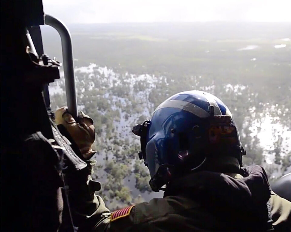
Accela reduces the impacts of natural disasters by helping ensure adherence to building and fire codes, and then helps agencies respond quickly to events to ensure public safety and efficient rebuilding.


Tailored record categories designed specifically for logging and tracking various damage assessments, ensuring accurate and organized data collection.
Ready-to-use checklists provided for inspectors, streamlining the damage assessment process and ensuring comprehensive evaluations.
Enables users to attach photos, videos, and even drone footage directly to the assessment record, offering a richer context and visual documentation of damages.
Designed for real-world disaster scenarios, the solution can operate without an internet connection, ensuring uninterrupted work during critical times when connectivity may be compromised.
Advanced geographical information system (GIS) capabilities allow for precise location-based data capture and analysis. This feature also includes seamless integration with Esri’s “Survey123” inspection software for enhanced spatial insights.
View our on-demand webinars featuring industry experts and Accela partners, products and customers.